The Township of Tiny has a rich cultural heritage, which the Heritage Advisory Committee is striving to preserve, promote and protect.
In 1842 provisions began to establish municipal Councils in every district of Upper Canada. The Corporation of the Township of Tiny and Tay was created by the Parliament of Canada under the Baldwin Act of 1850. The Township of Tiny was named by a by-law that same year. The first meeting of the Municipal Councils was on January 30, 1851 in which Tiny and Tay were united Townships under the first Reeve, Samuel Fraser. The two Townships remained united until 1869.
Throughout the nineteenth century, early settlers began to arrive and establish farms in the Township. Louis DesChenaux, a Drummond Islander, was the first to settle in 1833 east of Lafontaine and was followed by waves of French immigrants from Quebec. The area around Perkinsfield (which was originally known as St. Patrick's) was settled by Irish immigrants, then later by French immigrants from Quebec.
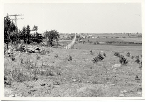
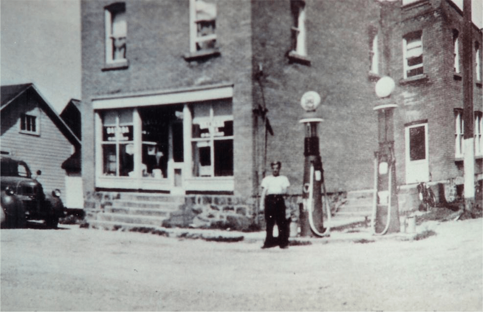
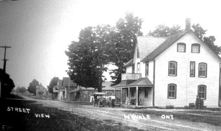
Settlements developed along the Wye River in the villages of Wyevale and Wyebridge due to the operating mills, while the shorelines of Georgian Bay flourished with cottages due to their natural beauty.
Gibson was located in the southwest corner of the Township of Tiny, with its center at the intersection of Concession 3 and County Road 29. When early settlers arrived the area was covered by a dense cedar bush. The logs were hauled to StoneyPoint on Georgian Bay where they were loaded into boats and taken to the Chicago area. The Dean brothers operated a steam mill southwest of the main intersection, which was used to build barns and homes in the area. The first post master in the hamlet wasWilliam Gibson, who gave the little village its name. Most residents in the area were farmers. Herb Spring, who had property next to the Dean’s, had more than 100 beehives and produced buckwheat honey, which was taken to Wyevale to be shipped by train toToronto. Ed Bell had a saw mill and steam threshing outfit and would do custom threshing in the fall. In 1918, the post office closed and was moved to Allenwood, a couple miles south of Gibson.
Lafontaine was originally known as Sainte Croix (Holy Cross), named such as it is the soil where the first cross was erected in this part of Canada. It is believed that Etienne Brule was the first white man to see the area in 1610. While Father Joseph Le Caron was the first missionary to venture into the region in 1615, and in that same year, in the presenceof the French explorer Samuel de Champlain, celebrated a mass and erected a cross at Carhagouha. The first Church erectedin 1856wasnamed for the settlement. In 1856, the Federal Post Office officially changed the name to Lafontaine, after Louis Hippolyte La Fontaine, a French Canadian Statesman who became Prime Minister of the newly united Province of Canada.The village was settled primarily by three waves of immigrants from Quebec. The first was from the County of Champlain, the second from the County of Joliette and the third from the Counties of Vaudreuil and Soulange. This was thenfollowed by lumbermen and mill workers. Early settler families included Beachamp, Pilon, Charlebois, Marchildon, Marchand, Brunelle, Marion, Leblanc, Maurice, Robitaille, Quesnelle and Chretien.
The area also witnessed the settling of inhabitants from Drummond Island. These were voyageurs that had takenpart of the War of 1812 and remained on the Island until it became an American territory and were forced to relocate. Many were given lots on the west side of Penetanguishene Bay. Just to the east of the village of Lafontaine, Louis DesCheneaux decided tosettle and built a log house in 1830.
By 1870, the village consisted of a church, general store, post office and school, with a population mostly made up of farmers. Beginning in 1878, an exodus movement seized the parish, according to Father Thomas Marchildon. Approximately 40 families emigrated to western provinces, which had just opened up for colonization. It was during this time that some English speaking families moved to area.
In 1937, Father Thomas Marchildon began study groups on the subject of co-operatives, which resulted in the formation of a local credit union, the Farmers’ Co-operative and the growing of certified seed potatoes. Farming remains today an important industry in Lafontaine.
Image
Laurin was a small hamlet northwest of Lafontaine on Concession Road 18. School Section #19 was opened in 1896 and closed in the early 1960s. The post office was established in 1913 and located opposite to the school. It closed in 1943.
In the 1850s due to severe famine in their homeland Irish immigrants began settling in the Perkinsfield area, around Concessions 11, 12 and 13. Early family names include Delvin, Hayes, Johnston, McMuarry, O’Reilly, Wynne, Campbell, Greer, Rutherford and Rankin. Around the same time a wave of immigrants from Quebec also began arriving in the area around Concession 8 and 9. The third wave settled in 1860 around Concession 10, where the center of the village is currently. These early family names include Asselin, Laforge, Fournier and Lalonde. Most of the Irish families moved again further south around Phelpston or engaged in other trades. The remaining French had to master all trades, taking on the roles of lumbermen, builders, hunters, fishermen and farmers. The village was originally known as St. Patrick, named for the church that was established in 1870. When the railway arrived in 1879, a train station was built just east of the village on the property of lumberman Augustus Perkins. From that name, the railway company derived the name of Perkinsfield for their train station. In 1909 the Federal Post OfficeDepartment changed the village name to Perkinsfield.
By 1890 Perkinsfield had a population listed as 200, with mail arriving daily by train, a school, church, general store, blacksmith and two sawmills. The village has always been closely connected to the cottagers thatbegan to arrive in the early twentieth century by train. Local farmers provided fresh food for these cottagers, while local carpenters helped construct their cottages.
Image
Randolph was located at the intersection of Concession Road 15 and Simcoe County Road 6 North. It was originally known as Kings Mill after the owner of a small sawmill in the area. Around 1858 the sawmill passed into the hands of a company of shareholders, with Riley Randolph as manager. Later the mill was purchased by three brothers, Royal, Oscar, and John Randolph. When the post office was established in 1885, the name Randolph was officially adopted.
A school was located at the intersection, along with a general store and a church. The church was in operation from 1885 to 1902, it was then moved to its current location across from St. James-on-the-lines in Penetanguishene, where it is used as a parish hall.
Wyebridge was originally known as Macville, called such by early settler Angus Grant, in honour of his father-in-law, John MacDonald, a retired officer of the Hudson’s Bay Company. He owned 6,000 acres along Penetanguishene Road that had been granted to him by the crown. In 1814, a bridge was built over the Wye Riverand the local name Wyebridgestuck. At that time the river was much larger then it is today and provided an excellent source for the small thriving community. When the first settlers arrived in the mid-1800s, they began to cut down timber and rafts of logs were floated down the Wye River to Georgian Bay. Zachariah Casselman and Hiram Cook formed a lumber company that hired local men to cut down trees, which eventually reached Quebec, where they were then loaded on ships for Europe.
James Plewes opened the first grist mill in 1859, with the power that was provided from the Wyebridge dam. Farmers from as far away as Elmvale, Hillsdale, Medonte and Lafontaine would go to Plewes’ mill to have their grain ground into flour. Adolph Lummis later purchased the grist mill, who also operated a woolen mill in village. In 1870, Mr. McCronkite built a spinning and carding mill on the south side of the river opposite the grist mill. James Carruthers and Thomas Robins operated a shingle mill on the river as well. A flood in 1928 damaged the mills and they were not rebuilt. Although other industries operated in the little village which included a cheese factory, cooper shop, shoemaker, tailor, saddler, blacksmith, carriage maker, tannery, brick manufacture, butcher, and pot and pearl ashery.
Wyebridge also had three hotels the Dominion, the Commercial (known locally as the Green Onion) and William Edwards. The most prominent store operators were Nelson and Cevila McRae. Their home was located where Heart and Home is currently and their store was where Mad Michael’s is today.
Image
Wyevale was founded in 1871 and was named for the Wye River, which provided early industry for mills north and south of the village. A post office was established in 1879, on the corner of what is currently Concession 5 and County Road 6 South. In that same year, because of the amount of profitable white pine and hardwood in the area the North Simcoe Railway laid a track through the village, with spur lines to the different mills. William Belding operated a mill just south of the village, while Hogan’s mill was between Concession 3 and 4, and Stott’s mill was on Concession 6.Edward Grigg built a grist mill in 1906 on the north half of Lot 13, Concession 3. With the arrival of the railway the village grew and by 1890 there were two general stores, a carriage maker, a carpenter, school, church and hotel. Lumbering was responsible for attracting early settlers to Wyevale. Mr. Fleming, a lumberman, operated a hotel in the early twentieth century.
Image
